Artist-in-Residence
20.10.25 - 06.01.2026
SOPH DYERABOUT

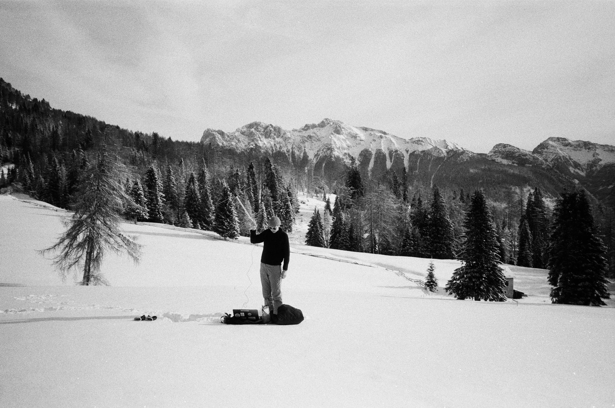
Sophie 'Soph' Dyer is a designer, educator, and one half of the feminist collective, open-weather. Their work explores feminist and anticolonial approaches to the weather and climate, and social justice issues more broadly. They combine participatory and investigative methods to create digital archives and tools, evidentiary models and maps, speculative fiction and workshops. As open-weather, Soph co-created accessible resources for DIY satellite imagery reception and decoding.
Soph is also an Advisor to Forensic Architecture @forensicarchitecture, Guest Tutor at Design Investigations @design_investigations and leads the Critical Cartographies studio at Design Academy Eindhoven.
·
Reliability You Can Count On
·
A Focus on Quality
·
Soph is also an Advisor to Forensic Architecture @forensicarchitecture, Guest Tutor at Design Investigations @design_investigations and leads the Critical Cartographies studio at Design Academy Eindhoven. · Reliability You Can Count On · A Focus on Quality ·
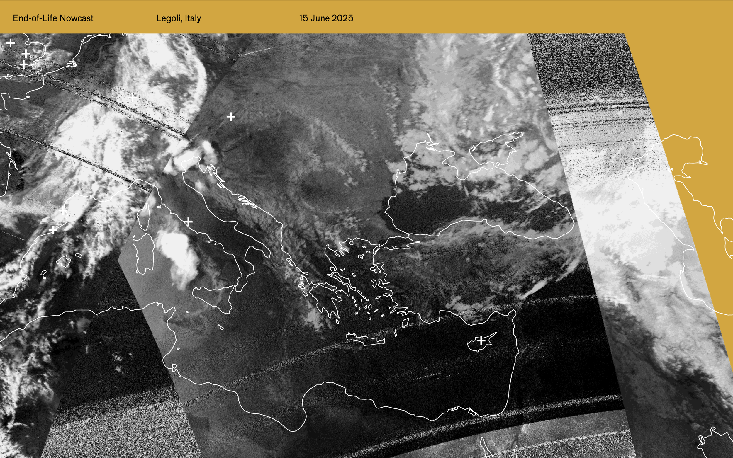
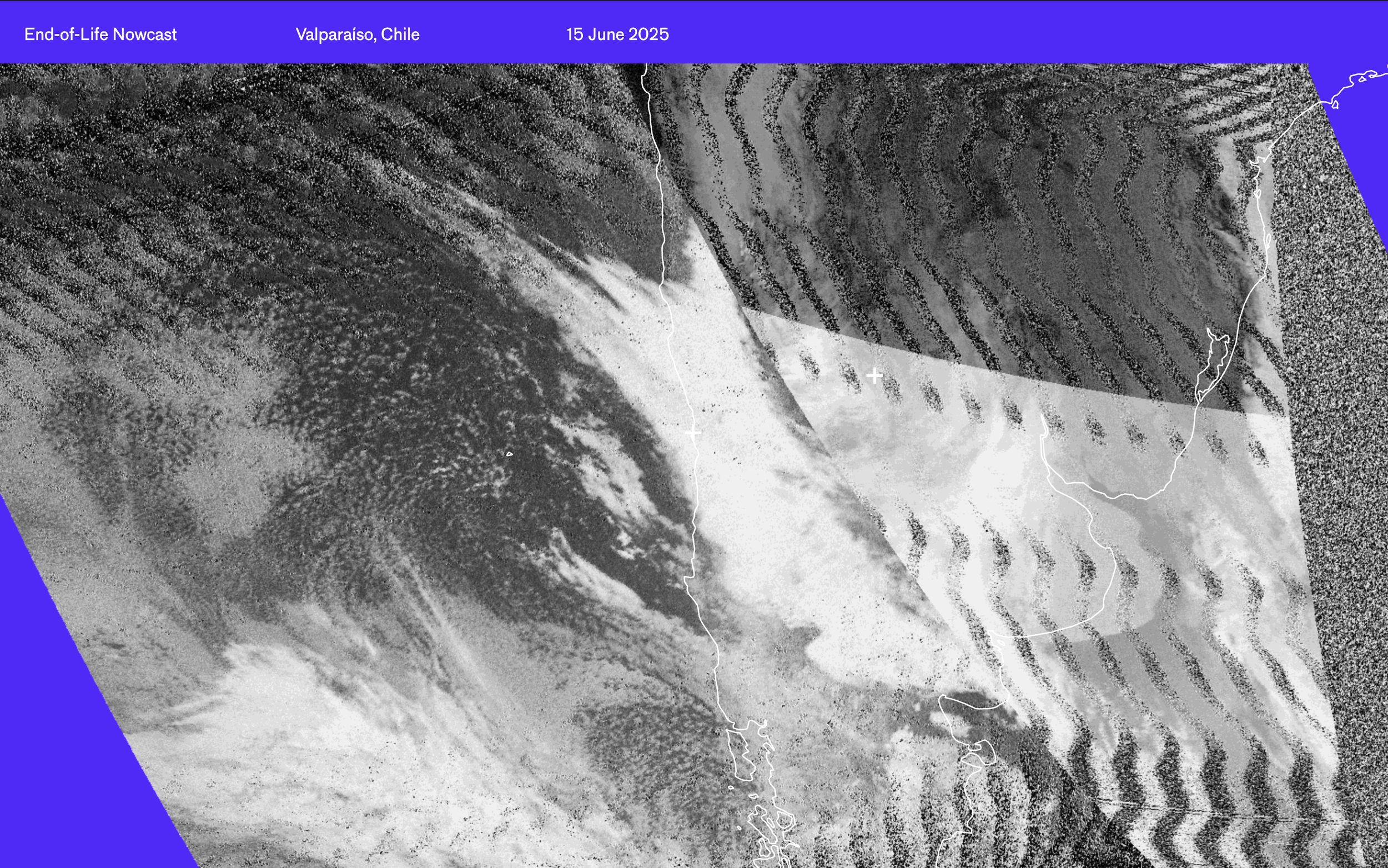
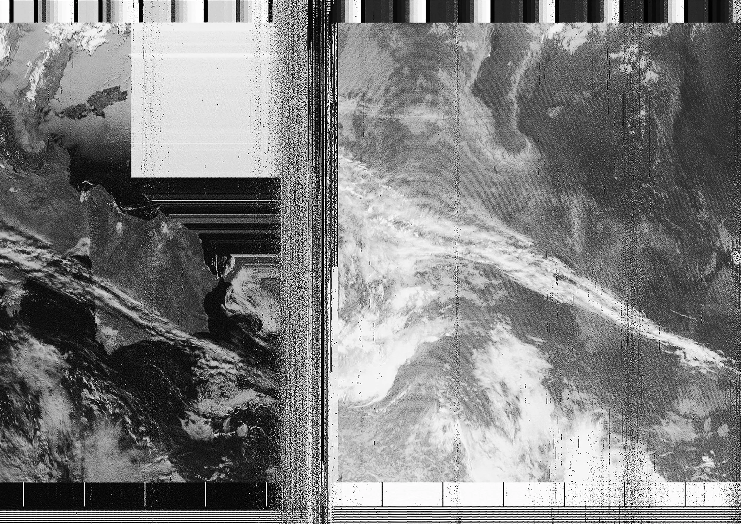
Open-weather is a feminist experiment in imaging and imagining the earth and its weather systems using DIY tools.
-
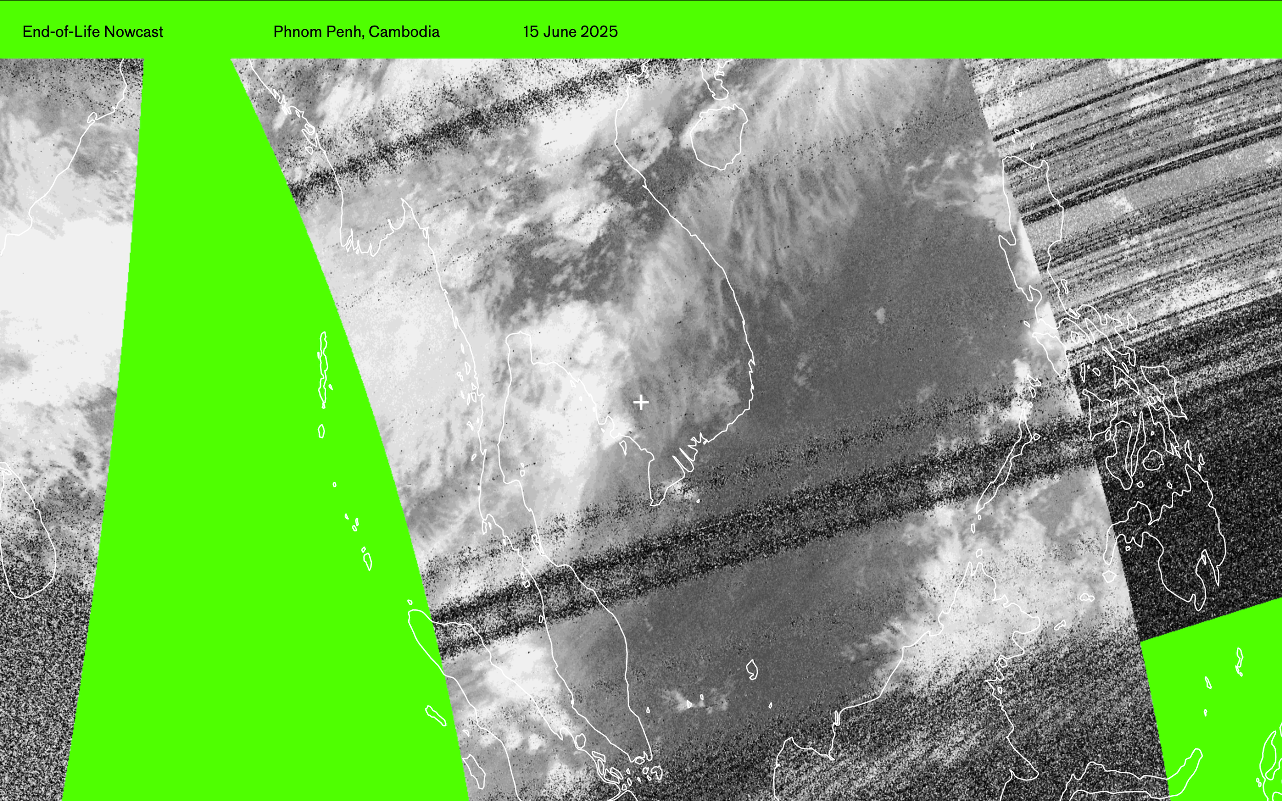
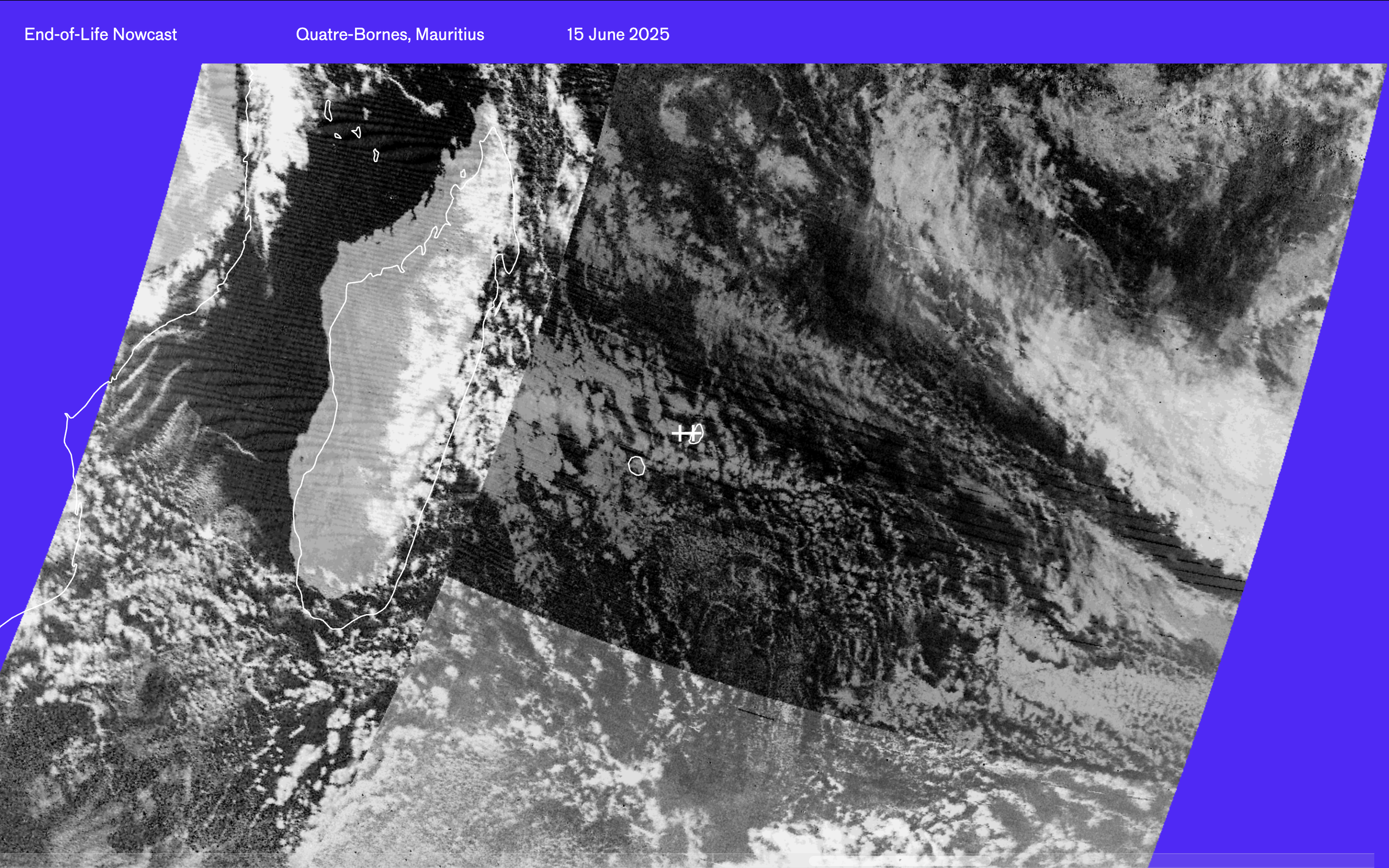
Satellite NOAA-15 glitches
As they orbit around the planet, NOAA satellites continuously transmit images of Earth’s surface.
-
Collaborate Openly
They transmit in two modes: APT (Automatic Picture Transmission) and HRPT (High Resolution Picture Transmission).
-
Adapt as Needed
APT is designed to detect five channels of radiant energy from the surface of the Earth ranging from the visible spectrum, the near-infrared, and infrared spectra.
-
open-weather NOAA-18
The length of the image that one receives is also unique to your place on Earth, your view of the sky, your antenna, your software defined radio skills, and how you track the orbit of the satellite.
Open-Weather
Soph’s work explores feminist and anticolonial approaches to the weather and climate, and social justice issues more broadly. They combine participatory and investigative methods to create digital archives and tools, evidentiary models and maps, speculative fiction and workshops. As open-weather, Soph co-created accessible resources for DIY satellite imagery reception and decoding.
https://open-weather.community/